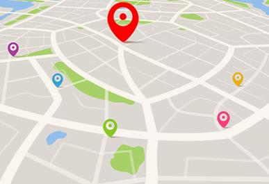
Base Layer
Foundational map with topography, roads, and city boundaries to ground all visualisations and decisions.
Our Geographic Information System (GIS) integrates and visualizes multi-layer spatial data in real time — helping you monitor traffic, infrastructure, and critical incidents. With layered intelligence, decision-makers gain actionable insights for smarter traffic planning and emergency responses.
From civic authorities running city-wide command centres to single-campus security teams — GIS adapts to the size and remit of every agency that needs spatial clarity over traffic and assets.





Stack the layers your team needs — toggle them in and out as the situation on the ground changes. Every layer is fed from the same authoritative spatial backbone.
Foundational map with topography, roads, and city boundaries to ground all visualisations and decisions.

Displays real-time and historical traffic congestion, speed variations, and volume insights across intersections.
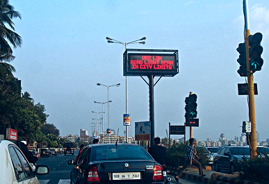
Maps out existing road assets, signals, cameras, signboards, and critical maintenance zones.

Showcases areas with past and ongoing accidents, traffic violations, and emergency-response zones.

Monitors pollution hotspots, temperature spikes, and weather-related alerts affecting mobility.

Marks water and electrical lines, construction zones, and their impact on traffic operations.
Each capability is independently deployable — adopt them one at a time or roll out the full GIS stack. Pick a capability on the left to see what it includes.
Layer and toggle live data over the base map.
Customise overlays for specific departments and roles.
Zoom-in heatmaps and side-by-side comparative view modes.
GIS brings together vast urban datasets and presents them in a visual, actionable format. Whether you're planning infrastructure upgrades or responding to an emergency, GIS provides clarity at every intersection.

Overlay your city's live signals, construction zones, weather warnings, and accident history all in one unified view. Instantly assess current impact and predict future risks with the same map.
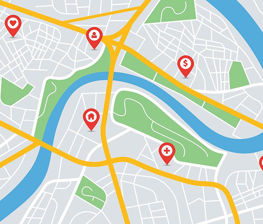
GIS turns spatial intuition into evidence — letting planners place infrastructure, cameras, and routes where the data says they belong, not where habit suggests.

Seamlessly plug into your Command & Control Centre, live CCTV systems, or traffic dashboards to ensure your GIS layer fuels every decision from operations to enforcement.