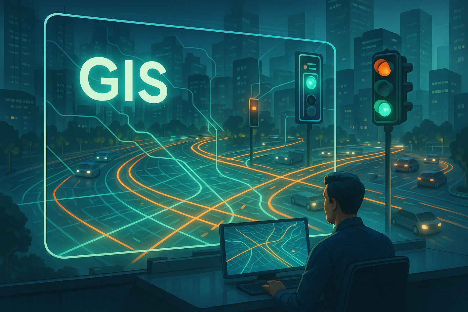
How GIS Improves Route Planning and Traffic Movements in ITMS?

In the rapidly urbanising world today, transport infrastructure comes under stress as never before. Cities expand, there are more vehicle owners every day, and logistics operations become more stressful through e-commerce and same-day delivery. Addressing all these challenges traditionally is no longer feasible. Intelligent Transport Management Systems (ITMS) have emerged as a robust solution that maximises mobility, facilitates safety, and brings efficiency. Behind all of these systems is a serious tool: Geographic Information Systems (GIS). Far more than digital maps, GIS is an umbrella term used to cover a system for combining spatial and transport information for route planning, reducing congestion, and transforming traffic management.
- The GIS Role in ITMS
GIS is not just about displaying places on a map. It is an extremely sophisticated technology that integrates spatial information - roadways, buildings, and land topography with real-time information such as traffic flows, weather conditions, and accidents. Coupled with ITMS, GIS is a dynamic platform that allows transportation authorities, logistics companies, and urban planners to make informed decisions in time. Unlike static mapping or common GPS programs, GIS offers layered analysis that is based on both real-time and predicted data, thus a treasure in modern transport environments.
- Route Optimisation: Beyond Shortest Paths
One of the most significant applications of GIS in ITMS is route optimisation. Traditionally, route planning relied on precomputed shortest or quickest routes. While this is arguably true in theory, real-world street conditions are not known. Road closures, unexpected congestion, weather delays, and special events often make static route planning useless.
GIS transforms the process by constantly analysing multiple variables. It is even able to take into account real-time road traffic, historical congestion patterns, accident locations, and even the weather, such as areas more likely to flood or road work areas. ITMS real-time redirects drivers dynamically on the basis of these inputs so that they end up arriving on the most efficient and safest route possible.
For shipping companies, this translates to punctual delivery, reduced fuel consumption, and less expense. A delivery van, for instance, could avoid a congested highway by diverting onto a less congested arterial route and saving hours without missing delivery timetables. Mass transit enjoys advantages through GIS-based optimisation, as well, with buses and shuttles being able to dynamically reroute themselves to keep on schedule in the presence of changing conditions.
- Improving Traffic Flow at Scale
GIS is not merely applied to single vehicles or fleets alone. Its real potential gets satisfied when applied to city traffic flow control. By spatial processing vehicle concentration data, traffic usage patterns, and bottlenecks, ITMS can plan more reasonable traffic management strategies. For example, GIS can aid traffic management centres in the dynamic modification of the signal.
- Improving Emergency and Priority Routing
The second critical advantage of GIS in ITMS is its use in responding to emergencies. Fire engines, ambulances, and police cars get stuck in the congestion of traffic. Through GIS implementation, ITMS can determine the safest and shortest route for the emergency responders in real-time, depending on road width, turn restrictions, and current road construction.
With GIS implementation, ITMS can calculate the shortest and safest path for emergency responders in real time, considering the width of the road, turn restrictions, and current roadwork.
Intelligent systems allow traffic lights to change dynamically when there are emergency vehicles on the way, rerouting the road and allowing for quicker response time. This is a lifesaver since even a slight delay of a few minutes can be fatal in emergencies.
- GIS for Sustainability and Smart Mobility
As cities attempt to be sustainable, GIS in ITMS becomes a critical enabler. By tracking traffic flow and smog locations, GIS enables regulators to design measures to limit emissions. For instance, traffic can be rerouted from air pollution hotspot areas to lower the health risks of the residents.
Furthermore, GIS allows the integration of eco-friendly means of transport. It enables the provision of reserved lanes for electric buses, sets areas where EV charging stations can be mounted, and offers multimodal transport through interconnecting bus, metro, and bike-sharing lines. For logistics fleet operators who are transitioning to electric transport, GIS can help ensure routes are mapped according to available charging points to prevent affecting delivery time.
- Enabling Long-Term Urban Planning
Aside from a daily traffic control, GIS also has long-term advantages in infrastructure planning. When transport data are integrated with demographic, land-use, and economic data, city planners can make rational decisions on road network expansion or new transit lines.
For instance, if GIS analysis indicates that a certain suburb is rapidly growing in population but lacks good transport connectivity, the authorities can lay emphasis on constructing new bus routes or metro lines. Accident hotspot analysis may also guide investments in road safety designs, and logistics terminals may be located strategically in order to minimise dead mileage for fleets.
- Data Integration and Predictive Analytics
One of the strengths of GIS in ITMS is that it can accommodate multiple data sources. From satellite images and IoT sensors to traffic conditions and weather, GIS can combine multiple data sets on a single platform. GIS makes predictive analysis possible, under which ITMS can predict traffic surges beforehand and suggest pre-emptive measures.
For instance, during holiday periods or sports game days, ITMS based on GIS can predict higher traffic concentration in certain locations and suggest rerouting or public transport upgrades beforehand. This predictive capability means that cities are not only responding to traffic but rather prefiguring it.
Conclusion:
GIS is the foundation of Smart Transport Management, allowing for intelligent route planning, efficient traffic, and eco-friendly mobility. With urbanisation on the rise, ITMS based on GIS is the solution to secure, efficient, and future-proof mobility. Get in touch with Arena Softwares for smarter, greener, and more robust mobility solutions. Contact Arena Softwares today to explore more about the improvements in route planning and traffic movements.
